File:The junction of Carrigenagh Road and Council Road - Geograph - 3324407.jpg
Jump to navigation
Jump to search

No higher resolution available.
The_junction_of_Carrigenagh_Road_and_Council_Road_-_Geograph_-_3324407.jpg (640 × 480 pixels, file size: 71 KB, MIME type: image/jpeg)
| |||||||||||||||||||||||||
|
Galleries | Whitewater Scenic Loop | C314 (Northern Ireland) | County Down | Kilkeel | ||
File history
Click on a date/time to view the file as it appeared at that time.
| Date/Time | Thumbnail | Dimensions | User | Comment | |
|---|---|---|---|---|---|
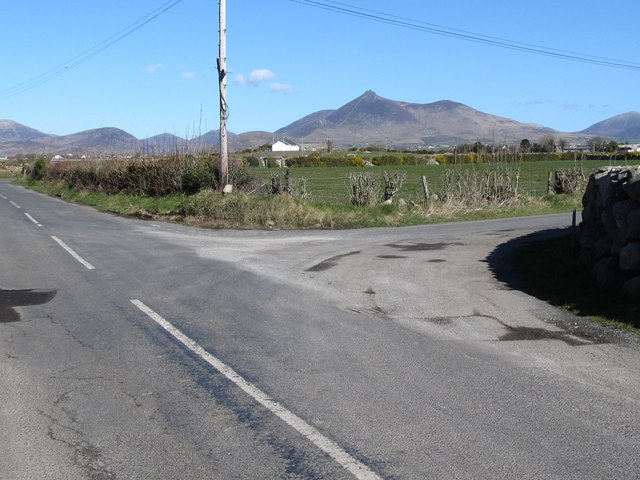
| current | 10:21, 20 March 2017 | | 640 × 480 (71 KB) | Si404 (talk | contribs) | '''The junction of Carrigenagh Road and Council Road''' |
File usage
The following 6 pages use this file: