File:The mouth the Bothar Chnoc Bearach Iochtarach - Geograph - 2595893.jpg
Jump to navigation
Jump to search

No higher resolution available.
The_mouth_the_Bothar_Chnoc_Bearach_Iochtarach_-_Geograph_-_2595893.jpg (640 × 480 pixels, file size: 69 KB, MIME type: image/jpeg)
| |||||||||||||||||||||||||
|
Galleries | Roosley Scenic Loop | Bilingual signs | ||
File history
Click on a date/time to view the file as it appeared at that time.
| Date/Time | Thumbnail | Dimensions | User | Comment | |
|---|---|---|---|---|---|
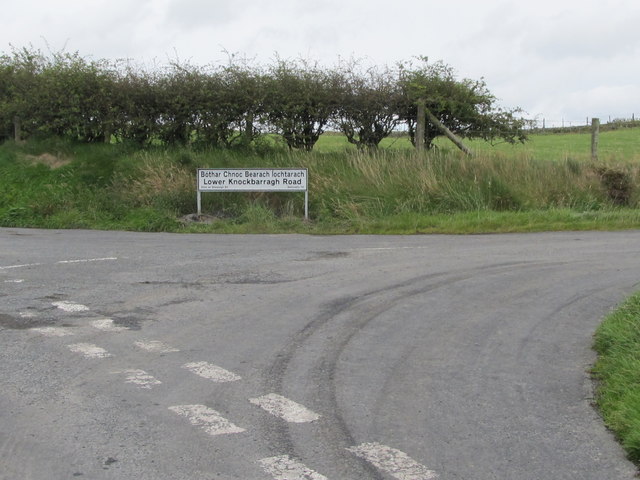
| current | 10:23, 20 March 2017 | | 640 × 480 (69 KB) | Si404 (talk | contribs) | '''The mouth the Bothar Chnoc Bearach Iochtarach''' The road is known in English as the Lower Knockbarragh Road. It leads southwards in the direction of Rostrevor. |
File usage
The following page uses this file: