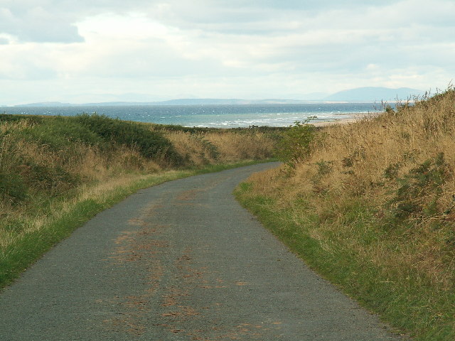
File:The north end of the Bollyn Road with Scotland in the distance - Geograph - 58761.jpg
Jump to navigation
Jump to search

No higher resolution available.
The_north_end_of_the_Bollyn_Road_with_Scotland_in_the_distance_-_Geograph_-_58761.jpg (640 × 480 pixels, file size: 147 KB, MIME type: image/jpeg)
| |||||||||||||||||||||||||
|
Galleries | Isle of Man | S1 | ||
File history
Click on a date/time to view the file as it appeared at that time.
| Date/Time | Thumbnail | Dimensions | User | Comment | |
|---|---|---|---|---|---|
| current | 14:49, 31 January 2012 | | 640 × 480 (147 KB) | Si404 (talk | contribs) | The north end of the Bollyn Road with Scotland in the distance |
File usage
There are no pages that use this file.