File:The old and the new road- A1098,... (C) Chris - Geograph - 3296307.jpg
Jump to navigation
Jump to search

No higher resolution available.
The_old_and_the_new_road-_A1098,..._(C)_Chris_-_Geograph_-_3296307.jpg (640 × 480 pixels, file size: 67 KB, MIME type: image/jpeg)
| |||||||||||||||||||||||||
|
Galleries | A1098 | Oxbow Road | ||
File history
Click on a date/time to view the file as it appeared at that time.
| Date/Time | Thumbnail | Dimensions | User | Comment | |
|---|---|---|---|---|---|
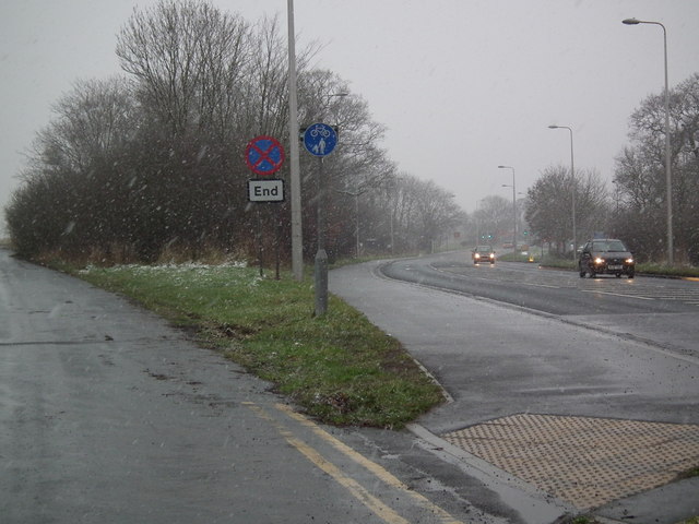
| current | 19:58, 3 November 2013 | | 640 × 480 (67 KB) | Vlad (talk | contribs) | '''The old and the new road- A1098,... (C) Chris '''<br/>In a snowstorm on a January afternoon.<br /> The road lead to Hewitt's Circus roundabout (and Tesco's) and then into Cleethorpes.<br /> The loop of the old road, to the left, is now a lay-by. |
File usage
The following 2 pages use this file:
_Chris_-_Geograph_-_3296307.jpg&oldid=357645)