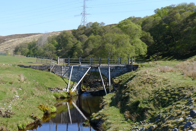
File:The old road bridge over Suisgill Burn, seen from the new bridge - Geograph - 6198516.jpg
Jump to navigation
Jump to search

No higher resolution available.
The_old_road_bridge_over_Suisgill_Burn,_seen_from_the_new_bridge_-_Geograph_-_6198516.jpg (640 × 427 pixels, file size: 100 KB, MIME type: image/jpeg)
| |||||||||||||||||||||||||
|
Galleries | A897 | Suisgill Bridge | ||
File history
Click on a date/time to view the file as it appeared at that time.
| Date/Time | Thumbnail | Dimensions | User | Comment | |
|---|---|---|---|---|---|
| current | 11:04, 28 April 2022 | | 640 × 427 (100 KB) | Rileyrob (talk | contribs) | '''The old road bridge over Suisgill Burn, seen from the new bridge''' |
File usage
The following 2 pages use this file: