File:The road is closed (C) Liz 'n' Jim - Geograph - 1184334.jpg
Jump to navigation
Jump to search

No higher resolution available.
The_road_is_closed_(C)_Liz_'n'_Jim_-_Geograph_-_1184334.jpg (640 × 480 pixels, file size: 44 KB, MIME type: image/jpeg)
| |||||||||||||||||||||||||
|
Galleries | Rosyth | Roadworks | Speed limit sign/10 mph | ||
File history
Click on a date/time to view the file as it appeared at that time.
| Date/Time | Thumbnail | Dimensions | User | Comment | |
|---|---|---|---|---|---|
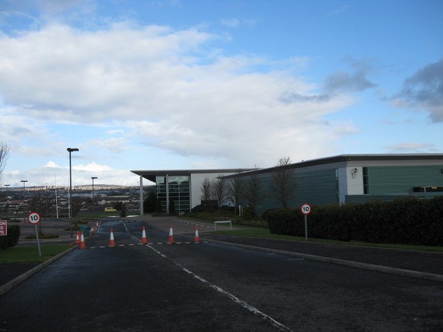
| current | 10:44, 9 May 2014 | | 640 × 480 (44 KB) | Si404 (talk | contribs) | '''The road is closed (C) Liz 'n' Jim '''<br/>No entry to what appears to be an empty unit on a Rosyth Business park. |
File usage
The following page uses this file:
_Liz_%27n%27_Jim_-_Geograph_-_1184334.jpg&oldid=373209)