File:The road to Sally Gap - Geograph - 1927570.jpg
Jump to navigation
Jump to search

No higher resolution available.
The_road_to_Sally_Gap_-_Geograph_-_1927570.jpg (640 × 480 pixels, file size: 69 KB, MIME type: image/jpeg)
| |||||||||||||||||||||||||
File history
Click on a date/time to view the file as it appeared at that time.
| Date/Time | Thumbnail | Dimensions | User | Comment | |
|---|---|---|---|---|---|
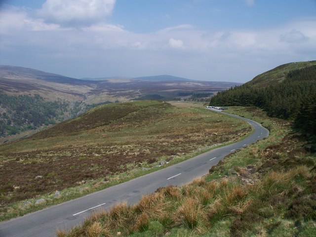
| current | 19:18, 22 March 2017 | | 640 × 480 (69 KB) | C2r (talk | contribs) | '''The road to Sally Gap''' The R759 road runs through the Wicklow Mountain National Park. Sally Gap is the pass over which the road crests. |
File usage
The following 3 pages use this file: