File:The start of the Aston Expressway - Geograph - 15095.jpg
Jump to navigation
Jump to search

No higher resolution available.
The_start_of_the_Aston_Expressway_-_Geograph_-_15095.jpg (610 × 407 pixels, file size: 48 KB, MIME type: image/jpeg)
| |||||||||||||||||||||||||
|
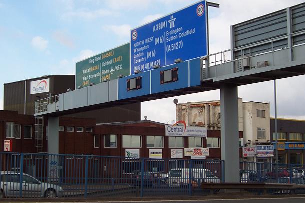
Galleries | A38(M) | Birmingham | Chopsticks | Gantry Sign | ||
File history
Click on a date/time to view the file as it appeared at that time.
| Date/Time | Thumbnail | Dimensions | User | Comment | |
|---|---|---|---|---|---|
| current | 22:40, 14 December 2009 | | 610 × 407 (48 KB) | Jeni (talk | contribs) | {{Information |description = The start of the Aston Expressway |day = 03 |month = 03 |year = 2005 |photographer = © Copyright [http://www.geograph.org.uk/profile/540 Adrian Bailey] and licensed for reuse under [http://creativecom |
File usage
The following page uses this file: