File:The top end of Ardmore village - Geograph - 4949816.jpg
Jump to navigation
Jump to search

No higher resolution available.
The_top_end_of_Ardmore_village_-_Geograph_-_4949816.jpg (640 × 480 pixels, file size: 71 KB, MIME type: image/jpeg)
| |||||||||||||||||||||||||
|
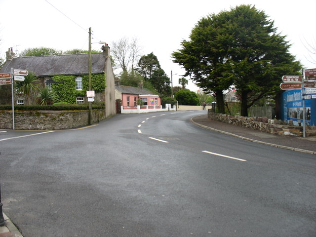
Galleries | R673 | South East Coastal Drive | Fingerpost | ||
File history
Click on a date/time to view the file as it appeared at that time.
| Date/Time | Thumbnail | Dimensions | User | Comment | |
|---|---|---|---|---|---|
| current | 11:35, 22 May 2016 | | 640 × 480 (71 KB) | Viator (talk | contribs) | The R673 in Ardmore, heading for Youghal |
File usage
The following page uses this file: