 | |  |
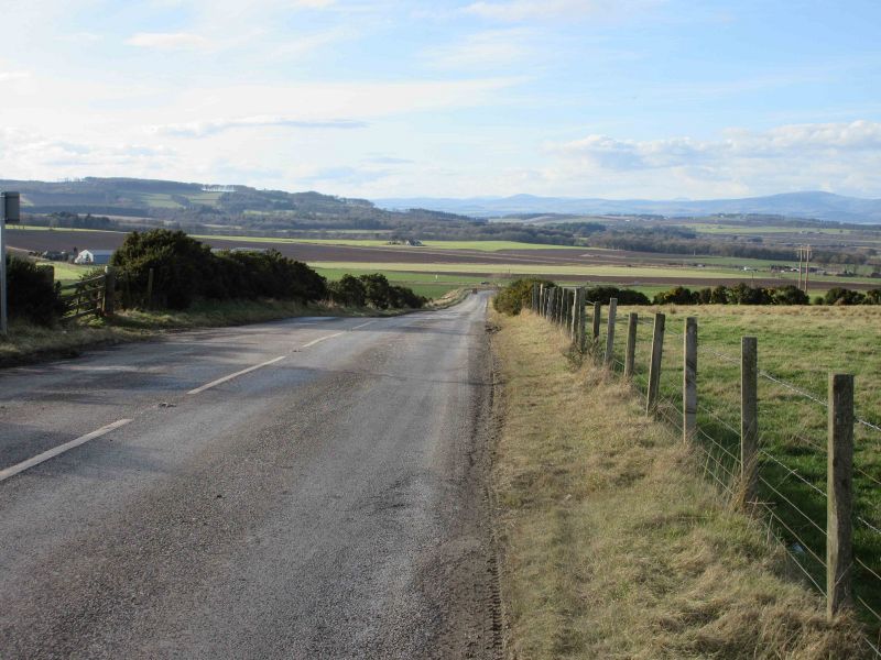
| | Description: | Looking down the hill towards Strathmore and the Grampians beyond on the B9128, 5 miles from Forfar. | | Location: | 56.592748, -2.785180 | | Road: | B9128 | | Date: | 01 03 2017 | | Photographer: | Scott Cormie | | Source: | |
|
|
| |
 | |  |
File history
Click on a date/time to view the file as it appeared at that time.
| Date/Time | Thumbnail | Dimensions | User | Comment |
|---|
| current | 17:31, 2 March 2017 | 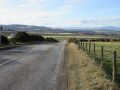 | 5,184 × 3,888 (987 KB) | Scotti (talk | contribs) | Looking down the hill towards Strathmore and the Grampians beyond on the B9128, 5 miles from Forfar. |
File usage
There are no pages that use this file.
This file contains additional information, probably added from the digital camera or scanner used to create or digitise it.
If the file has been modified from its original state, some details may not fully reflect the modified file.
