File:The turning for Meadle - Geograph - 4510468.jpg
Jump to navigation
Jump to search

No higher resolution available.
The_turning_for_Meadle_-_Geograph_-_4510468.jpg (640 × 471 pixels, file size: 74 KB, MIME type: image/jpeg)
| |||||||||||||||||||||||||
|
Galleries | C63 (Buckinghamshire) | Fingerpost | Buckinghamshire | ||
File history
Click on a date/time to view the file as it appeared at that time.
| Date/Time | Thumbnail | Dimensions | User | Comment | |
|---|---|---|---|---|---|
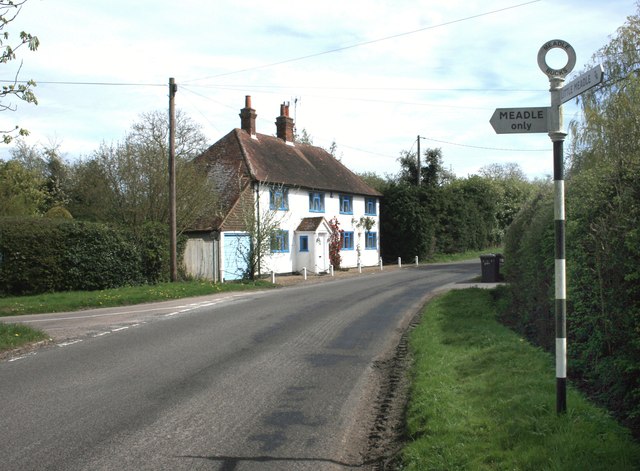
| current | 17:39, 10 February 2017 | | 640 × 471 (74 KB) | Si404 (talk | contribs) | '''The turning for Meadle''' A short no through road into Meadle hamlet. |
File usage
The following 2 pages use this file: