File:The westbound exit slip at junction 11 of the M8 - Geograph - 4087610.jpg
Jump to navigation
Jump to search

No higher resolution available.
The_westbound_exit_slip_at_junction_11_of_the_M8_-_Geograph_-_4087610.jpg (640 × 480 pixels, file size: 72 KB, MIME type: image/jpeg)
| |||||||||||||||||||||||||
|
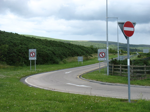
Galleries | M8 (Republic of Ireland) | Cahir South Interchange | County Tipperary | Cahir | Regulatory Sign/No Entry | ||
File history
Click on a date/time to view the file as it appeared at that time.
| Date/Time | Thumbnail | Dimensions | User | Comment | |
|---|---|---|---|---|---|
| current | 23:08, 9 November 2016 | | 640 × 480 (72 KB) | C2r (talk | contribs) | '''The westbound exit slip at junction 11 of the M8''' |
File usage
The following 3 pages use this file: