File:This way to Inverkip - Geograph - 2604462.jpg
Jump to navigation
Jump to search

Size of this preview: 553 × 600 pixels. Other resolution: 590 × 640 pixels.
Original file (590 × 640 pixels, file size: 83 KB, MIME type: image/jpeg)
| |||||||||||||||||||||||||
File history
Click on a date/time to view the file as it appeared at that time.
| Date/Time | Thumbnail | Dimensions | User | Comment | |
|---|---|---|---|---|---|
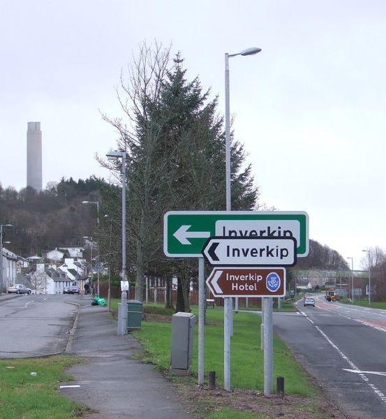
| current | 22:57, 26 February 2021 | | 590 × 640 (83 KB) | Tam nugent (talk | contribs) | A small forest of signs pointing the way to the village from the A78 at the north end of Main Street. |
File usage
The following 3 pages use this file: