File:Thornaby Road (C) Philip Barker - Geograph - 2071511.jpg
Jump to navigation
Jump to search

No higher resolution available.
Thornaby_Road_(C)_Philip_Barker_-_Geograph_-_2071511.jpg (640 × 426 pixels, file size: 51 KB, MIME type: image/jpeg)
| |||||||||||||||||||||||||
File history
Click on a date/time to view the file as it appeared at that time.
| Date/Time | Thumbnail | Dimensions | User | Comment | |
|---|---|---|---|---|---|
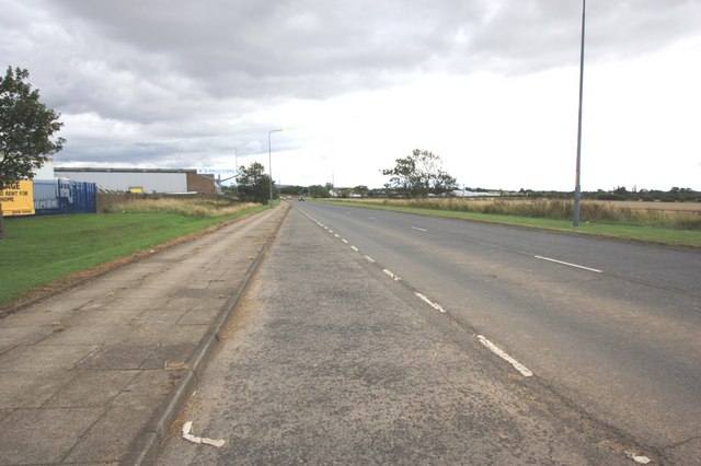
| current | 19:22, 11 May 2014 | | 640 × 426 (51 KB) | Vlad (talk | contribs) | '''Thornaby Road (C) Philip Barker '''<br/>This photograph shows a view of a section of Thornaby Road (A1045) as it approaches its junction with the A1044 road near The Manor House Bar and Brasserie (which is just visible in the upper centre of the ima... |
File usage
The following 3 pages use this file:
_Philip_Barker_-_Geograph_-_2071511.jpg&oldid=373558)