File:Thriplow- Middle Street - Geograph - 2862678.jpg
Jump to navigation
Jump to search

No higher resolution available.
Thriplow-_Middle_Street_-_Geograph_-_2862678.jpg (640 × 437 pixels, file size: 79 KB, MIME type: image/jpeg)
| |||||||||||||||||||||||||
|
Galleries | C264 (Cambridgeshire) | Cambridgeshire | ||
File history
Click on a date/time to view the file as it appeared at that time.
| Date/Time | Thumbnail | Dimensions | User | Comment | |
|---|---|---|---|---|---|
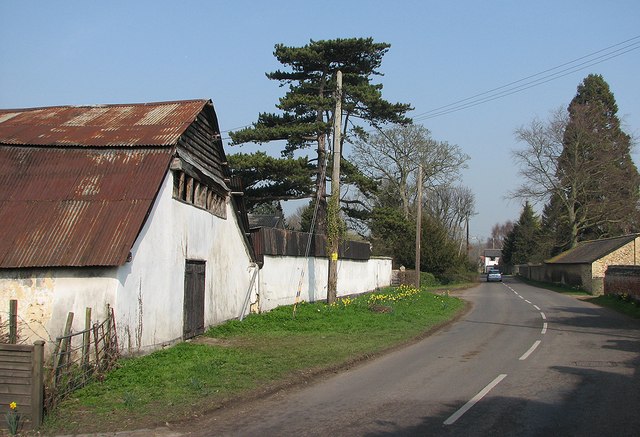
| current | 10:14, 6 December 2017 | | 640 × 437 (79 KB) | C2r (talk | contribs) | '''Thriplow- Middle Street''' The timber-framed barn on the left is roofed with undulating corrugated iron. |
File usage
The following 2 pages use this file: