File:Throop- signpost at Throop Clump crossroads - Geograph - 1707634.jpg
Jump to navigation
Jump to search

Size of this preview: 450 × 600 pixels. Other resolution: 480 × 640 pixels.
Original file (480 × 640 pixels, file size: 110 KB, MIME type: image/jpeg)
| |||||||||||||||||||||||||
|
Galleries | Throop Clump | Dorset | Fingerpost | ||
File history
Click on a date/time to view the file as it appeared at that time.
| Date/Time | Thumbnail | Dimensions | User | Comment | |
|---|---|---|---|---|---|
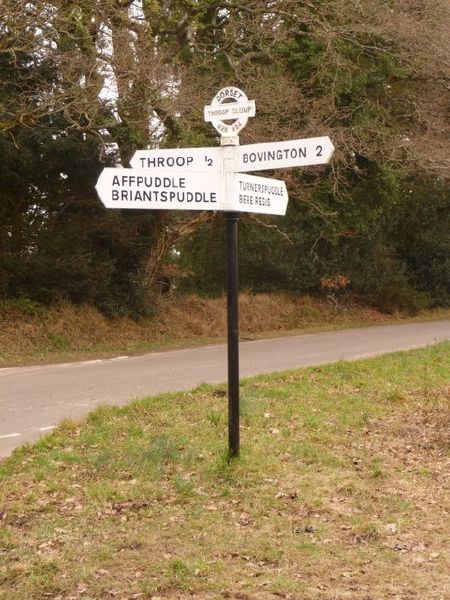
| current | 18:18, 29 September 2016 | | 480 × 640 (110 KB) | C2r (talk | contribs) | '''Throop- signpost at Throop Clump crossroads''' This finger-post retains the original finial, giving location and six-digit grid reference. However, the fingers themselves are recognisably modern; the originals would almost certainly have had rounded... |
File usage
The following 2 pages use this file: