File:Toll point, Kielder Forest Drive - Geograph - 3678763.jpg
Jump to navigation
Jump to search

No higher resolution available.
Toll_point,_Kielder_Forest_Drive_-_Geograph_-_3678763.jpg (640 × 474 pixels, file size: 74 KB, MIME type: image/jpeg)
| |||||||||||||||||||||||||
|
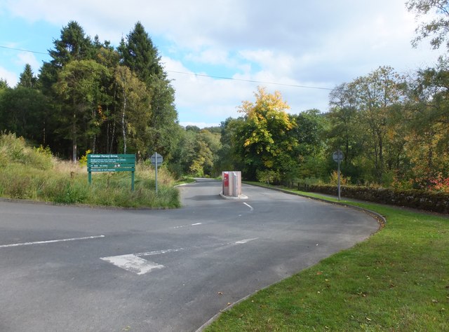
Galleries | Kielder Forest Drive | Toll booth | ||
File history
Click on a date/time to view the file as it appeared at that time.
| Date/Time | Thumbnail | Dimensions | User | Comment | |
|---|---|---|---|---|---|
| current | 18:42, 2 September 2018 | | 640 × 474 (74 KB) | Si404 (talk | contribs) | '''Toll point, Kielder Forest Drive''' See 1630409 for a similar and yet very different view in winter. The Forest Drive is about twelve miles long, and reaches the A68 near Cottonshopeburnfoot which is just south of Byrness. The tarmac soon com... |
File usage
The following page uses this file: