File:Toll road junction, on the A39 - Geograph - 2343879.jpg
Jump to navigation
Jump to search

No higher resolution available.
Toll_road_junction,_on_the_A39_-_Geograph_-_2343879.jpg (640 × 480 pixels, file size: 79 KB, MIME type: image/jpeg)
| |||||||||||||||||||||||||
|
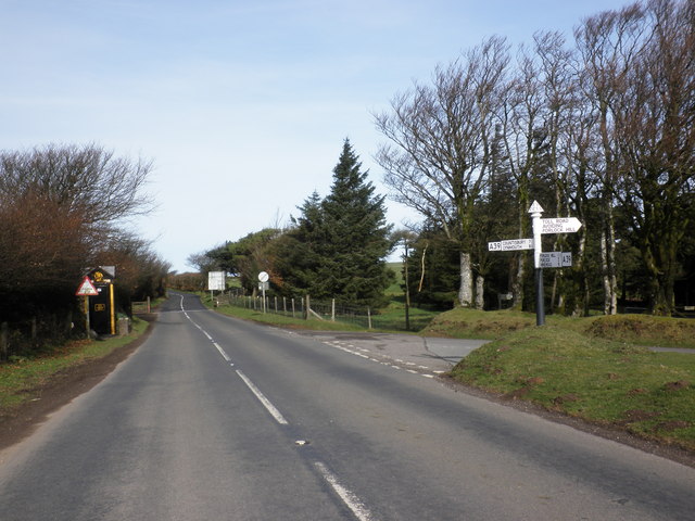
Galleries | A39 | Fingerpost | Motoring organisation telephone | Somerset | ||
File history
Click on a date/time to view the file as it appeared at that time.
| Date/Time | Thumbnail | Dimensions | User | Comment | |
|---|---|---|---|---|---|
| current | 18:46, 9 March 2012 | | 640 × 480 (79 KB) | Glen (talk | contribs) | Toll road junction, on the A39 |
File usage
The following 2 pages use this file: