File:Toll road pay point at Kielder Castle - Geograph - 5505863.jpg
Jump to navigation
Jump to search

No higher resolution available.
Toll_road_pay_point_at_Kielder_Castle_-_Geograph_-_5505863.jpg (640 × 480 pixels, file size: 329 KB, MIME type: image/jpeg)
| |||||||||||||||||||||||||
|
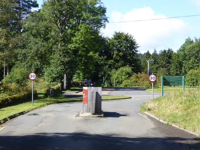
Galleries | Kielder Forest Drive | Toll booth | ||
File history
Click on a date/time to view the file as it appeared at that time.
| Date/Time | Thumbnail | Dimensions | User | Comment | |
|---|---|---|---|---|---|
| current | 18:44, 2 September 2018 | | 640 × 480 (329 KB) | Si404 (talk | contribs) | '''Toll road pay point at Kielder Castle''' The Forestry Commission manage a gravel-surface toll road over the hills between Byrness and Kielder. |
File usage
There are no pages that use this file.