File:Tolworth junction - Geograph - 134858.jpg
Jump to navigation
Jump to search

No higher resolution available.
Tolworth_junction_-_Geograph_-_134858.jpg (640 × 480 pixels, file size: 130 KB, MIME type: image/jpeg)
| |||||||||||||||||||||||||
|
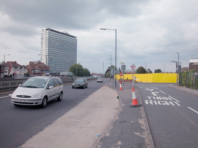
Galleries | A3 | A240 | D2 | Kingston upon Thames | Tolworth Junction | ||
File history
Click on a date/time to view the file as it appeared at that time.
| Date/Time | Thumbnail | Dimensions | User | Comment | |
|---|---|---|---|---|---|
| current | 18:17, 10 July 2010 | | 640 × 480 (130 KB) | Bob@romiley1 (talk | contribs) | '''Tolworth junction'''<br/>View from service and slip road on the south side of the A3 trunk route. The hoarding surrounds the site of the now demolished Toby Jug pub. |
File usage
The following 4 pages use this file: