File:Tong Road - Geograph - 3725969.jpg
Jump to navigation
Jump to search

No higher resolution available.
Tong_Road_-_Geograph_-_3725969.jpg (640 × 480 pixels, file size: 44 KB, MIME type: image/jpeg)
| |||||||||||||||||||||||||
|
Galleries | C6 (Staffordshire) | C12 (Staffordshire) | ||
File history
Click on a date/time to view the file as it appeared at that time.
| Date/Time | Thumbnail | Dimensions | User | Comment | |
|---|---|---|---|---|---|
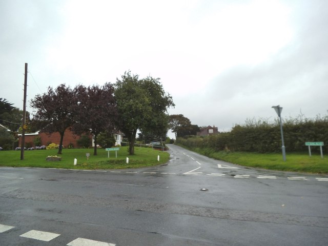
| current | 21:26, 13 November 2016 | | 640 × 480 (44 KB) | Steven (talk | contribs) | Looking east across the crossroads between the C6 and the C12. |
File usage
The following 2 pages use this file: