 | |  |
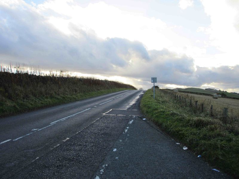
| | Description: | The summit of the road as it goes over the top of Angus Hill heading westbound towards Aberlemno. | | Location: | 56.700105, -2.764366 | | Road: | B9134 | | Date: | 26 10 2016 | | Photographer: | Scott Cormie | | Source: | |
|
|
| |
 | |  |
File history
Click on a date/time to view the file as it appeared at that time.
| Date/Time | Thumbnail | Dimensions | User | Comment |
|---|
| current | 17:01, 2 January 2017 | 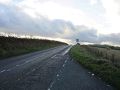 | 5,184 × 3,888 (696 KB) | Scotti (talk | contribs) | The summit of the road as it goes over the top of Angus Hill heading westbound towards Aberlemno. |
File usage
The following 2 pages use this file:
This file contains additional information, probably added from the digital camera or scanner used to create or digitise it.
If the file has been modified from its original state, some details may not fully reflect the modified file.
