File:Top of road down Hell's Glen - Geograph - 1657365.jpg
Jump to navigation
Jump to search

No higher resolution available.
Top_of_road_down_Hell's_Glen_-_Geograph_-_1657365.jpg (640 × 427 pixels, file size: 72 KB, MIME type: image/jpeg)
| |||||||||||||||||||||||||
|
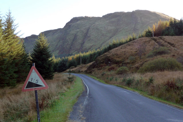
Galleries | B839 | Warning Sign/Steep Hill | Defunct Traffic Signs | ||
File history
Click on a date/time to view the file as it appeared at that time.
| Date/Time | Thumbnail | Dimensions | User | Comment | |
|---|---|---|---|---|---|
| current | 14:54, 11 January 2010 | | 640 × 427 (72 KB) | Jeni (talk | contribs) | {{Information |description = Top of road down Hell's Glen |day = 16 |month = 10 |year = 2009 |photographer = © Copyright [http://www.geograph.org.uk/profile/1667 Phil Champion] and licensed for reuse under [http://creativecommons |
File usage
The following 3 pages use this file: