File:Totteridge Lane - Geograph - 1748793.jpg
Jump to navigation
Jump to search

No higher resolution available.
Totteridge_Lane_-_Geograph_-_1748793.jpg (640 × 427 pixels, file size: 82 KB, MIME type: image/jpeg)
| |||||||||||||||||||||||||
File history
Click on a date/time to view the file as it appeared at that time.
| Date/Time | Thumbnail | Dimensions | User | Comment | |
|---|---|---|---|---|---|
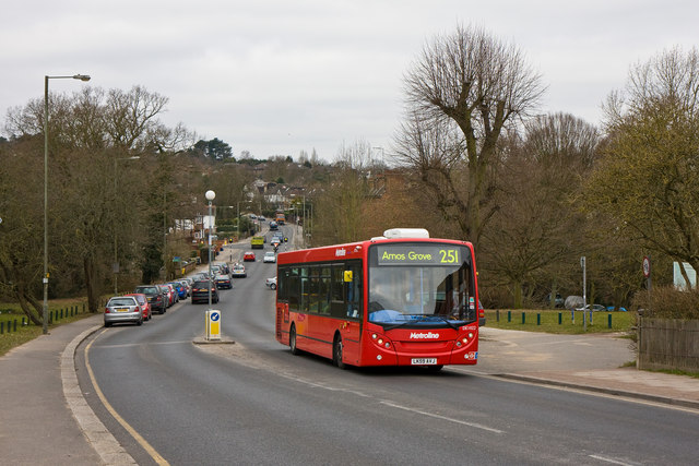
| current | 14:53, 14 March 2010 | | 640 × 427 (82 KB) | Jeni (talk | contribs) | '''Totteridge Lane'''<br/>Seen from the westbound bus stop outside Totteridge and Whetstone station.<br /> <br /> A 251 bus on route to Arnos Grove from Edgware tackles the steep climb out of the Dollis Valley towards the junction with the A1000 at Whet |
File usage
The following 4 pages use this file: