File:Towards Burra from Trondra - Geograph - 1337594.jpg
Jump to navigation
Jump to search

No higher resolution available.
Towards_Burra_from_Trondra_-_Geograph_-_1337594.jpg (640 × 481 pixels, file size: 107 KB, MIME type: image/jpeg)
| |||||||||||||||||||||||||
|
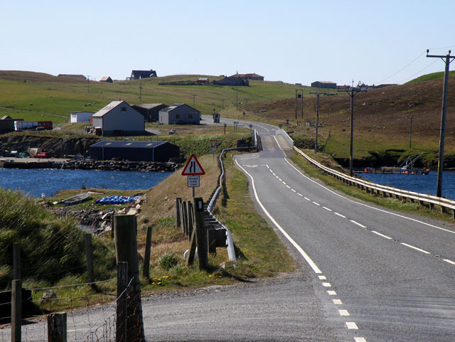
Galleries | b9074 | Warning Sign/Road Narrows | S1 | Burra Bridge | ||
File history
Click on a date/time to view the file as it appeared at that time.
| Date/Time | Thumbnail | Dimensions | User | Comment | |
|---|---|---|---|---|---|
| current | 12:39, 25 April 2010 | | 640 × 481 (107 KB) | Bob@romiley1 (talk | contribs) | '''Towards Burra from Trondra'''<br/>View of the B9074, in the distance it crosses a bridge that links Trondra with Burra. |
File usage
The following 3 pages use this file: