File:Traboe Cross cross roads. - Geograph - 1532401.jpg
Jump to navigation
Jump to search

No higher resolution available.
Traboe_Cross_cross_roads._-_Geograph_-_1532401.jpg (640 × 360 pixels, file size: 66 KB, MIME type: image/jpeg)
| |||||||||||||||||||||||||
|
Galleries | B3293 | Flag Sign | Traboe Cross | ||
File history
Click on a date/time to view the file as it appeared at that time.
| Date/Time | Thumbnail | Dimensions | User | Comment | |
|---|---|---|---|---|---|
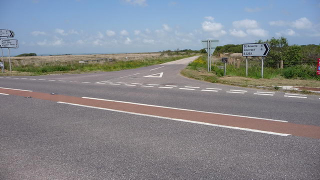
| current | 12:59, 10 July 2016 | | 640 × 360 (66 KB) | C2r (talk | contribs) | '''Traboe Cross cross roads.''' Road junction on Goonhilly Downs, near the BT Goonhilly Earth Station. The small dark signpost gives directions to the nearby "Cornish Camels" trekking centre and farm shop. |
File usage
The following page uses this file: