File:Traffic lights near Larne - Geograph - 407144.jpg
Jump to navigation
Jump to search

No higher resolution available.
Traffic_lights_near_Larne_-_Geograph_-_407144.jpg (640 × 426 pixels, file size: 113 KB, MIME type: image/jpeg)
| |||||||||||||||||||||||||
|
Galleries | A2 (Northern Ireland) | Causeway Coastal Route | ||
File history
Click on a date/time to view the file as it appeared at that time.
| Date/Time | Thumbnail | Dimensions | User | Comment | |
|---|---|---|---|---|---|
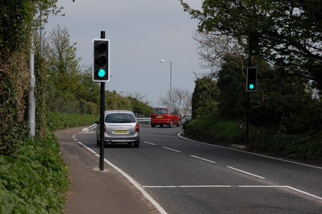
| current | 13:17, 16 June 2010 | | 640 × 426 (113 KB) | Si404 (talk | contribs) | '''Traffic lights near Larne'''<br/>The bridge carrying the Carrickfergus � Larne road over the railway at the Bank Road, Larne <a href="http://www.geograph.org.uk/photo/407129">D4001 : Railway near Larne</a> is skewed making it next to impossible for lor |
File usage
The following page uses this file: