File:Trowbridge Road at the junction of Bath Road - Geograph - 5089652.jpg
Jump to navigation
Jump to search

No higher resolution available.
Trowbridge_Road_at_the_junction_of_Bath_Road_-_Geograph_-_5089652.jpg (640 × 480 pixels, file size: 53 KB, MIME type: image/jpeg)
| |||||||||||||||||||||||||
|
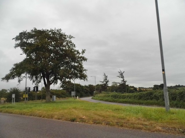
Galleries | A361 | A365 | Seend Fork | Pictures from Geograph | ||
File history
Click on a date/time to view the file as it appeared at that time.
| Date/Time | Thumbnail | Dimensions | User | Comment | |
|---|---|---|---|---|---|
| current | 23:09, 17 July 2019 | | 640 × 480 (53 KB) | C2r (talk | contribs) | '''Trowbridge Road at the junction of Bath Road''' |
File usage
The following 4 pages use this file: