File:Tweed Bridge, Innerleithen - Geograph - 1018074.jpg

From Roader's Digest: The SABRE Wiki
Jump to navigation Jump to search

Tweed_Bridge,_Innerleithen_-_Geograph_-_1018074.jpg(640 × 480 pixels, file size: 75 KB, MIME type: image/jpeg)

Y topleft.gifY topright.gif
Description:
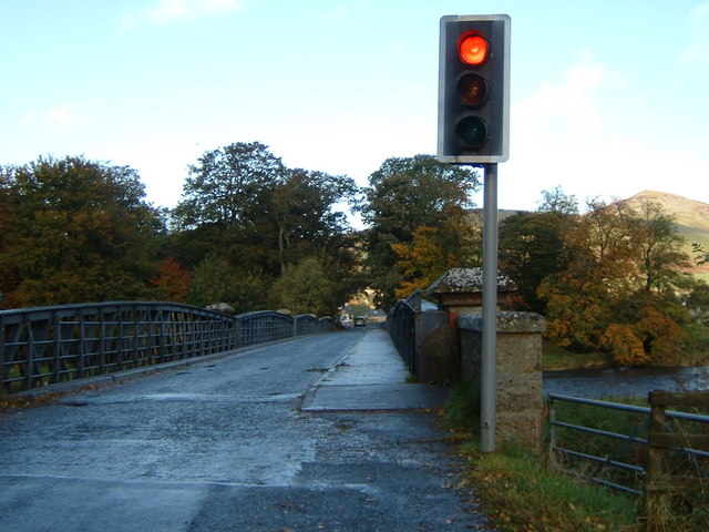
Tweed Bridge, Innerleithen
A plaque on the bridge informs that it was erected in 1886 by 'The Peebles Shire Road Trustees', contractors Robertson & Co. of Workington, engineer R.S.Anderson. The bridge at one time was subject to a toll; the toll house is at the N end of the bridge, just into the next square.
Location:55.612481, -3.058696
Road:B709
Date:22 10 2008
Photographer:� Copyright Jim Barton and licensed for reuse under this Creative Commons Licence
Source:Geograph

Map

Y btmleft.gifY btmright.gif

Galleries  | B709 | Single track road | Traffic Signals | Innerleithen Bridge

File history

Click on a date/time to view the file as it appeared at that time.

Date/TimeThumbnailDimensionsUserComment
current14:08, 16 July 2010Thumbnail for version as of 14:08, 16 July 2010640 × 480 (75 KB)Bob@romiley1 (talk | contribs)'''Tweed Bridge, Innerleithen'''<br/>A plaque on the bridge informs that it was erected in 1886 by 'The Peebles Shire Road Trustees', contractors Robertson & Co. of Workington, engineer R.S.Anderson. The bridge at one time was subject to a toll; the toll

The following 2 pages use this file:

Metadata

SABRE - The Society for All British and Irish Road Enthusiasts
Discuss - Digest - Discover - Help