File:Twenty Foot Road - Geograph - 3981847.jpg
Jump to navigation
Jump to search

No higher resolution available.
Twenty_Foot_Road_-_Geograph_-_3981847.jpg (640 × 480 pixels, file size: 60 KB, MIME type: image/jpeg)
| |||||||||||||||||||||||||
|
Galleries | C34 (Cambridgeshire) | Cambridgeshire | March | ||
File history
Click on a date/time to view the file as it appeared at that time.
| Date/Time | Thumbnail | Dimensions | User | Comment | |
|---|---|---|---|---|---|
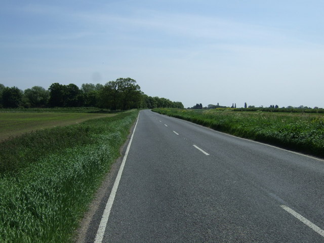
| current | 23:00, 30 December 2017 | | 640 × 480 (60 KB) | C2r (talk | contribs) | '''Twenty Foot Road''' National Cycle Route 63 heading east. |
File usage
The following 3 pages use this file: