File:Two pubs at Shinfield - Geograph - 39408.jpg
Jump to navigation
Jump to search

No higher resolution available.
Two_pubs_at_Shinfield_-_Geograph_-_39408.jpg (640 × 480 pixels, file size: 139 KB, MIME type: image/jpeg)
| |||||||||||||||||||||||||
|
Galleries | B3349 | B3350 (Shinfield) | ||
File history
Click on a date/time to view the file as it appeared at that time.
| Date/Time | Thumbnail | Dimensions | User | Comment | |
|---|---|---|---|---|---|
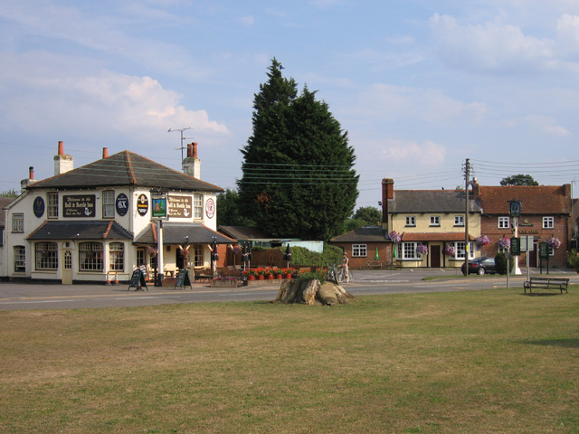
| current | 20:27, 15 March 2017 | | 640 × 480 (139 KB) | Vlad (talk | contribs) | '''Two pubs at Shinfield''' These are the two pubs in the village of Shinfield, just south of Reading. The Bell and Bottle is on the left and The Royal Oak is on the far right. There is also a very old school facing onto the village green. |
File usage
The following 3 pages use this file: