File:Under the A4 as it crosses the River... (C) Sarah Charlesworth - Geograph - 1065985.jpg
Jump to navigation
Jump to search

No higher resolution available.
Under_the_A4_as_it_crosses_the_River..._(C)_Sarah_Charlesworth_-_Geograph_-_1065985.jpg (640 × 480 pixels, file size: 63 KB, MIME type: image/jpeg)
| |||||||||||||||||||||||||
|
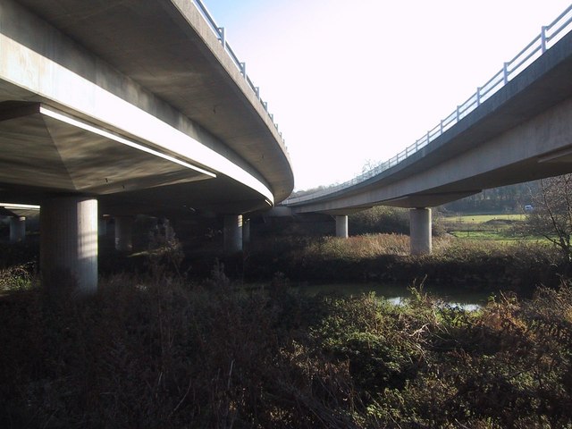
Galleries | A4 | Batheaston Bypass Bridge | ||
File history
Click on a date/time to view the file as it appeared at that time.
| Date/Time | Thumbnail | Dimensions | User | Comment | |
|---|---|---|---|---|---|
| current | 18:56, 29 October 2014 | | 640 × 480 (63 KB) | Jeni (talk | contribs) | Under the A4 as it crosses the River... (C) Sarah Charlesworth |
File usage
The following 3 pages use this file:
_Sarah_Charlesworth_-_Geograph_-_1065985.jpg&oldid=389875)