File:Underpass - Geograph - 894330.jpg
Jump to navigation
Jump to search

No higher resolution available.
Underpass_-_Geograph_-_894330.jpg (640 × 480 pixels, file size: 90 KB, MIME type: image/jpeg)
| |||||||||||||||||||||||||
|
Galleries | A14 | Rookery Crossroads | ||
File history
Click on a date/time to view the file as it appeared at that time.
| Date/Time | Thumbnail | Dimensions | User | Comment | |
|---|---|---|---|---|---|
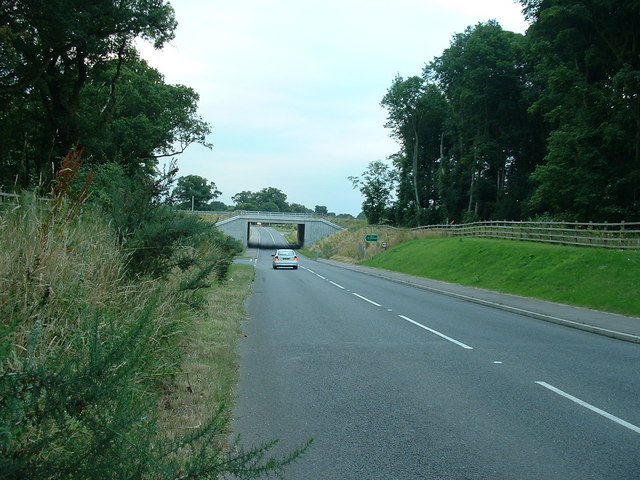
| current | 15:43, 7 July 2016 | | 640 × 480 (90 KB) | C2r (talk | contribs) | '''Underpass''' Underpass of a local road under the A.14 see http://www.geograph.org.uk/photo/29460 for the photo by Bob Jones of it being constructed in July 2005. |
File usage
The following 2 pages use this file: