File:Undulating fenland road west of March (C) Richard Humphrey - Geograph - 3193808.jpg
Jump to navigation
Jump to search

No higher resolution available.
Undulating_fenland_road_west_of_March_(C)_Richard_Humphrey_-_Geograph_-_3193808.jpg (640 × 480 pixels, file size: 52 KB, MIME type: image/jpeg)
| |||||||||||||||||||||||||
|
Galleries | B1097 | unclassified | ||
File history
Click on a date/time to view the file as it appeared at that time.
| Date/Time | Thumbnail | Dimensions | User | Comment | |
|---|---|---|---|---|---|
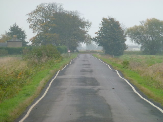
| current | 19:32, 14 May 2015 | | 640 × 480 (52 KB) | Vlad (talk | contribs) | '''Undulating fenland road west of March (C) Richard Humphrey '''<br/>This view along Whittlesey Road towards Truman's Farm is typical of many roads in the area. Centuries of drainage causes the underlying ground to slowly sink unevenly. Once these dip... |
File usage
The following 2 pages use this file:
_Richard_Humphrey_-_Geograph_-_3193808.jpg&oldid=397997)