File:Upper Denton - Geograph - 1492779.jpg
Jump to navigation
Jump to search

No higher resolution available.
Upper_Denton_-_Geograph_-_1492779.jpg (640 × 419 pixels, file size: 114 KB, MIME type: image/jpeg)
| |||||||||||||||||||||||||
|
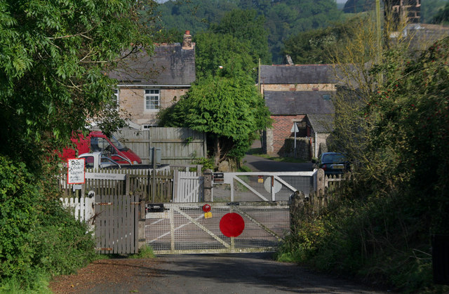
Galleries | Single track road | Level Crossing | Cumberland | ||
File history
Click on a date/time to view the file as it appeared at that time.
| Date/Time | Thumbnail | Dimensions | User | Comment | |
|---|---|---|---|---|---|
| current | 18:49, 5 October 2010 | | 640 × 419 (114 KB) | Glen (talk | contribs) | '''Upper Denton'''<br/>Level crossing taking the Carlisle to Newcastle Railway across the road leading into Upper Denton in the Irthing Valley. |
File usage
The following 3 pages use this file: