File:Upper Foxdale Cottages (C) Andy Stephenson - Geograph - 105903.jpg
Jump to navigation
Jump to search

No higher resolution available.
Upper_Foxdale_Cottages_(C)_Andy_Stephenson_-_Geograph_-_105903.jpg (640 × 419 pixels, file size: 82 KB, MIME type: image/jpeg)
| |||||||||||||||||||||||||
|
Galleries | A3 (Isle of Man) | ||
File history
Click on a date/time to view the file as it appeared at that time.
| Date/Time | Thumbnail | Dimensions | User | Comment | |
|---|---|---|---|---|---|
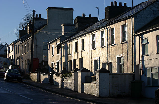
| current | 10:11, 19 June 2013 | | 640 × 419 (82 KB) | Si404 (talk | contribs) | '''Upper Foxdale Cottages (C) Andy Stephenson '''<br/>A view south along the main road near the centre of this old mining village. |
File usage
The following page uses this file:
_Andy_Stephenson_-_Geograph_-_105903.jpg&oldid=348162)