File:Upper Main Street, Dunleer, Co. Louth - Geograph - 1310757.jpg
Jump to navigation
Jump to search

No higher resolution available.
Upper_Main_Street,_Dunleer,_Co._Louth_-_Geograph_-_1310757.jpg (640 × 480 pixels, file size: 75 KB, MIME type: image/jpeg)
| |||||||||||||||||||||||||
|
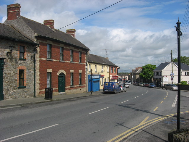
Galleries | R132 | County Louth | ||
File history
Click on a date/time to view the file as it appeared at that time.
| Date/Time | Thumbnail | Dimensions | User | Comment | |
|---|---|---|---|---|---|
| current | 14:49, 30 August 2014 | | 640 × 480 (75 KB) | Viator (talk | contribs) | Upper Main Street (R132) in Dunleer, Co. Louth |
File usage
There are no pages that use this file.