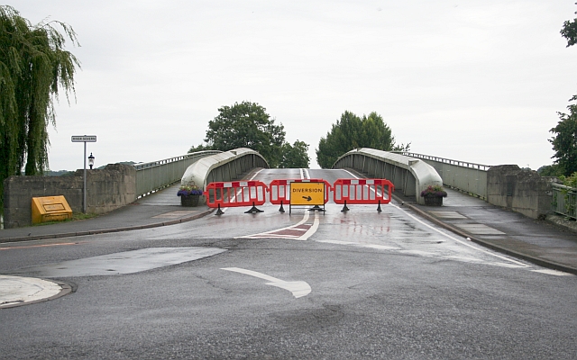
File:Upton Bridge Closed - July 2007 Flooding - Geograph - 505829.jpg
Jump to navigation
Jump to search

No higher resolution available.
Upton_Bridge_Closed_-_July_2007_Flooding_-_Geograph_-_505829.jpg (640 × 400 pixels, file size: 211 KB, MIME type: image/jpeg)
| |||||||||||||||||||||||||
|
Galleries | A4104 | Elgar Route | Upton-upon-Severn Bridge | ||
File history
Click on a date/time to view the file as it appeared at that time.
| Date/Time | Thumbnail | Dimensions | User | Comment | |
|---|---|---|---|---|---|
| current | 02:32, 5 December 2009 | | 640 × 400 (211 KB) | Jeni (talk | contribs) | {{Information |description = Upton Bridge Closed - July 2007 Flooding |day = 25 |month = 07 |year = 2007 |photographer = © Copyright [http://www.geograph.org.uk/profile/125 Bob Embleton] and licensed for reuse under [http://creat |
File usage
The following 2 pages use this file: