File:Urafirth- approaching on the A970 - Geograph - 2742217.jpg
Jump to navigation
Jump to search

No higher resolution available.
Urafirth-_approaching_on_the_A970_-_Geograph_-_2742217.jpg (640 × 480 pixels, file size: 53 KB, MIME type: image/jpeg)
| |||||||||||||||||||||||||
|
Galleries | A970 | B9078 (Brae - Hillswick) | ||
File history
Click on a date/time to view the file as it appeared at that time.
| Date/Time | Thumbnail | Dimensions | User | Comment | |
|---|---|---|---|---|---|
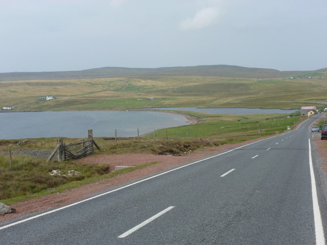
| current | 20:54, 30 November 2016 | | 640 × 480 (53 KB) | Vlad (talk | contribs) | '''Urafirth- approaching on the A970''' The A970 makes its way towards Hillswick, passing here through the village of Urafirth at the head of Ura Firth. In the centre of the picture, we see Long Ayre, a sand bar which separates The Wadill, the lake to ... |
File usage
The following 3 pages use this file: