File:Urban Sprawl, N6 - Geograph - 296886.jpg

From Roader's Digest: The SABRE Wiki
Jump to navigation Jump to search

Urban_Sprawl,_N6_-_Geograph_-_296886.jpg(638 × 405 pixels, file size: 61 KB, MIME type: image/jpeg)

Y topleft.gifY topright.gif
Description:
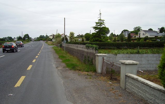
Urban Sprawl, N6
The N6 Galway - Dublin road has provided a stimulus for ribbon development to the south of Athlone. Athlone is not a large town, but now has suburbs stretching far into Co. Roscommon.
Location:53.398484, -7.989105
Road:R446, N6
Date:06 07 2006
Photographer:� Copyright Richard Webb and licensed for reuse under this Creative Commons Licence
Source:Geograph

Map

Y btmleft.gifY btmright.gif

Galleries  | R446 | N6 | Athlone

File history

Click on a date/time to view the file as it appeared at that time.

Date/TimeThumbnailDimensionsUserComment
current15:03, 16 June 2010Thumbnail for version as of 15:03, 16 June 2010638 × 405 (61 KB)Si404 (talk | contribs)'''Urban Sprawl, N6'''<br/>The N6 Galway - Dublin road has provided a stimulus for ribbon development to the south of Athlone. Athlone is not a large town, but now has suburbs stretching far into Co. Roscommon.

The following 3 pages use this file:

Metadata

SABRE - The Society for All British and Irish Road Enthusiasts
Discuss - Digest - Discover - Help