File:Very steep hill St. Mawes.JPG
Jump to navigation
Jump to search

Size of this preview: 800 × 450 pixels. Other resolution: 1,411 × 794 pixels.
Original file (1,411 × 794 pixels, file size: 423 KB, MIME type: image/jpeg)
| |||||||||||||||||||||||||
|
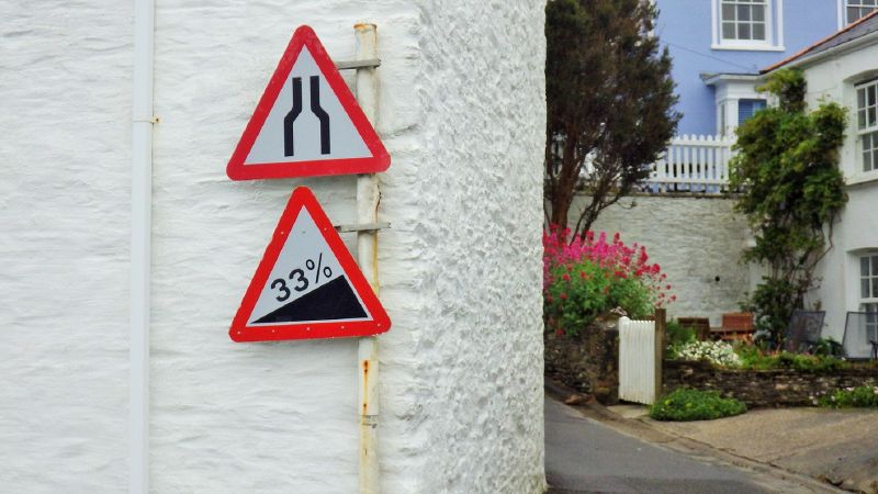
Galleries | A3078 | Warning Sign/Steep Hill | Warning Sign/Road Narrows | ||
File history
Click on a date/time to view the file as it appeared at that time.
| Date/Time | Thumbnail | Dimensions | User | Comment | |
|---|---|---|---|---|---|
| current | 21:33, 24 April 2019 | | 1,411 × 794 (423 KB) | Multiraider2 (talk | contribs) | Signs at the bottom of Church Hill, St. Mawes at its junction with the A3078. |
File usage
There are no pages that use this file.