File:Victoria Embankment, London - Geograph - 1481002.jpg
Jump to navigation
Jump to search

No higher resolution available.
Victoria_Embankment,_London_-_Geograph_-_1481002.jpg (640 × 428 pixels, file size: 90 KB, MIME type: image/jpeg)
| |||||||||||||||||||||||||
|
Galleries | A3211 | Central London | ||
File history
Click on a date/time to view the file as it appeared at that time.
| Date/Time | Thumbnail | Dimensions | User | Comment | |
|---|---|---|---|---|---|
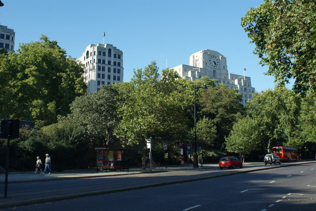
| current | 14:25, 29 July 2010 | | 640 × 428 (90 KB) | Si404 (talk | contribs) | '''Victoria Embankment, London'''<br/>Looking across this busy road, during a break in traffic, towards Shell Mex House; on the right of picture. |
File usage
There are no pages that use this file.