File:Victoria Park Bridge - Geograph - 127740.jpg
Jump to navigation
Jump to search

No higher resolution available.
Victoria_Park_Bridge_-_Geograph_-_127740.jpg (640 × 418 pixels, file size: 112 KB, MIME type: image/jpeg)
| |||||||||||||||||||||||||
|
Galleries | A339 | D2 | Victoria Park Bridge | ||
File history
Click on a date/time to view the file as it appeared at that time.
| Date/Time | Thumbnail | Dimensions | User | Comment | |
|---|---|---|---|---|---|
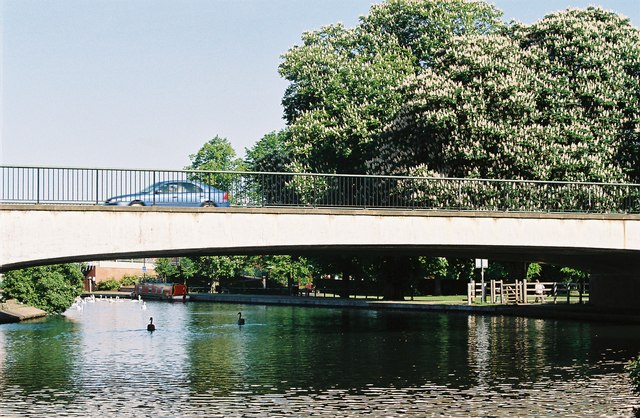
| current | 17:16, 4 June 2010 | | 640 × 418 (112 KB) | Bob@romiley1 (talk | contribs) | '''Victoria Park Bridge'''<br/>Formerly the A34 by-passing Newbury town centre to the east, crossing the combined R. Kennet and Kennet & Avon Canal. |
File usage
The following 2 pages use this file: