File:Victoria Road (C) Thomas Nugent - Geograph - 1659293.jpg
Jump to navigation
Jump to search

No higher resolution available.
Victoria_Road_(C)_Thomas_Nugent_-_Geograph_-_1659293.jpg (640 × 480 pixels, file size: 71 KB, MIME type: image/jpeg)
| |||||||||||||||||||||||||
|
Galleries | A727 (Glasgow - Clarkston) | ||
File history
Click on a date/time to view the file as it appeared at that time.
| Date/Time | Thumbnail | Dimensions | User | Comment | |
|---|---|---|---|---|---|
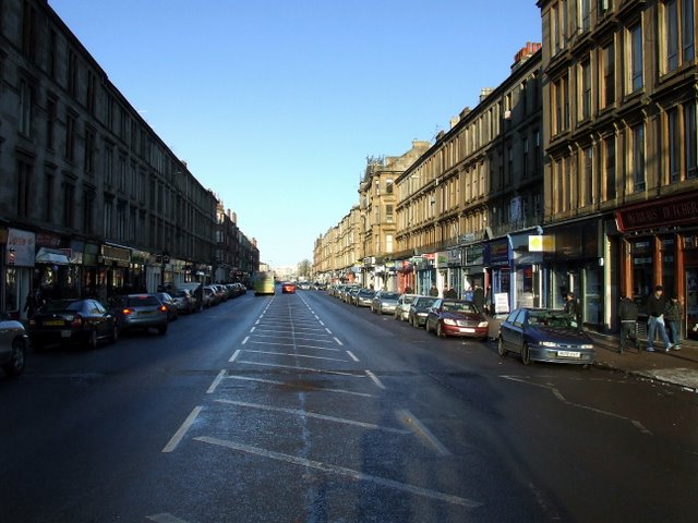
| current | 20:05, 25 March 2014 | | 640 × 480 (71 KB) | Vlad (talk | contribs) | '''Victoria Road (C) Thomas Nugent '''<br/>Looking towards the city centre. |
File usage
The following page uses this file:
_Thomas_Nugent_-_Geograph_-_1659293.jpg&oldid=685357)