File:View along St Luke's Terrace, Sunderland - Geograph - 5437745.jpg
Jump to navigation
Jump to search

No higher resolution available.
View_along_St_Luke's_Terrace,_Sunderland_-_Geograph_-_5437745.jpg (640 × 480 pixels, file size: 60 KB, MIME type: image/jpeg)
| |||||||||||||||||||||||||
|
Galleries | C512 (Sunderland) | ||
File history
Click on a date/time to view the file as it appeared at that time.
| Date/Time | Thumbnail | Dimensions | User | Comment | |
|---|---|---|---|---|---|
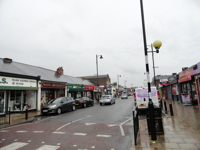
| current | 09:42, 11 January 2018 | | 640 × 480 (60 KB) | Gc a690 (talk | contribs) | '''View along St Luke's Terrace, Sunderland''' Looking north along this local shopping street in the Pallion district of the city. |
File usage
The following page uses this file: