File:View north along Mildenhall Road (A1101) - Geograph - 1519337.jpg
Jump to navigation
Jump to search

No higher resolution available.
View_north_along_Mildenhall_Road_(A1101)_-_Geograph_-_1519337.jpg (640 × 480 pixels, file size: 67 KB, MIME type: image/jpeg)
| |||||||||||||||||||||||||
|
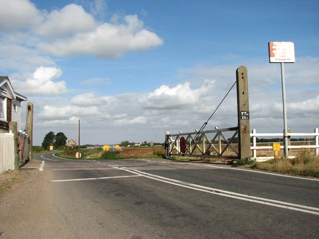
Galleries | A1101 | B1101 (Bury St Edmunds - Outwell) | Level Crossing | S2 | ||
File history
Click on a date/time to view the file as it appeared at that time.
| Date/Time | Thumbnail | Dimensions | User | Comment | |
|---|---|---|---|---|---|
| current | 20:12, 7 October 2009 | | 640 × 480 (67 KB) | Bob@romiley1 (talk | contribs) | {{Information |description = View north along Mildenhall Road (A1101) |day = 01 |month = 10 |year = 2009 |photographer = © Copyright [http://www.geograph.org.uk/profile/14840 Evelyn Simak] and licensed for reuse under [http://cre |
File usage
The following 3 pages use this file:
_-_Geograph_-_1519337.jpg&oldid=356915)