File:View north along Sandbank Road - Geograph - 3375700.jpg
Jump to navigation
Jump to search

No higher resolution available.
View_north_along_Sandbank_Road_-_Geograph_-_3375700.jpg (640 × 480 pixels, file size: 56 KB, MIME type: image/jpeg)
| |||||||||||||||||||||||||
|
Galleries | Roosley Scenic Loop | C321 (Northern Ireland) | ||
File history
Click on a date/time to view the file as it appeared at that time.
| Date/Time | Thumbnail | Dimensions | User | Comment | |
|---|---|---|---|---|---|
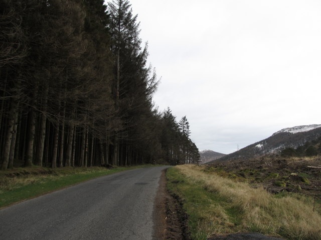
| current | 10:24, 20 March 2017 | | 640 × 480 (56 KB) | Si404 (talk | contribs) | '''View north along Sandbank Road''' The trees on the left are on the eastern slopes of Cortlieve Mountain. The trees on the right hand side have been cut fairly recently. |
File usage
The following 2 pages use this file: