File:View north along the Drumlough Road (B7) (C) Eric Jones - Geograph - 2902193.jpg
Jump to navigation
Jump to search

No higher resolution available.
View_north_along_the_Drumlough_Road_(B7)_(C)_Eric_Jones_-_Geograph_-_2902193.jpg (640 × 480 pixels, file size: 74 KB, MIME type: image/jpeg)
| |||||||||||||||||||||||||
|
Galleries | B7 (Northern Ireland) | ||
File history
Click on a date/time to view the file as it appeared at that time.
| Date/Time | Thumbnail | Dimensions | User | Comment | |
|---|---|---|---|---|---|
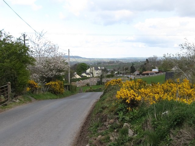
| current | 23:13, 11 November 2013 | | 640 × 480 (74 KB) | Vlad (talk | contribs) | '''View north along the Drumlough Road (B7) (C) Eric Jones '''<br/>Linear settlement along this road linking Mayobridge and Rathfriland are a mixture of the old and the newly-built. Many of the older houses are now derelict. |
File usage
The following page uses this file:
_(C)_Eric_Jones_-_Geograph_-_2902193.jpg&oldid=358875)