File:View of Moel Famau from Llong (C) John S Turner - Geograph - 1027593.jpg
Jump to navigation
Jump to search

No higher resolution available.
View_of_Moel_Famau_from_Llong_(C)_John_S_Turner_-_Geograph_-_1027593.jpg (640 × 480 pixels, file size: 145 KB, MIME type: image/jpeg)
| |||||||||||||||||||||||||
|
Galleries | A5118 | ||
File history
Click on a date/time to view the file as it appeared at that time.
| Date/Time | Thumbnail | Dimensions | User | Comment | |
|---|---|---|---|---|---|
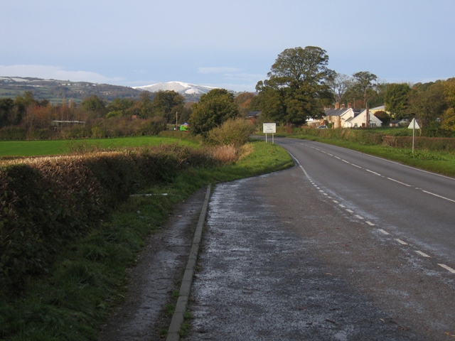
| current | 19:56, 10 October 2014 | | 640 × 480 (145 KB) | Vlad (talk | contribs) | '''View of Moel Famau from Llong (C) John S Turner '''<br/>The layby, just before entering Llong, provides a good opportunity to view Moel Famau with its unusually early covering of snow. |
File usage
The following 2 pages use this file:
_John_S_Turner_-_Geograph_-_1027593.jpg&oldid=388833)