File:Village Road Denham - Geograph - 3474444.jpg
Jump to navigation
Jump to search

No higher resolution available.
Village_Road_Denham_-_Geograph_-_3474444.jpg (640 × 480 pixels, file size: 95 KB, MIME type: image/jpeg)
| |||||||||||||||||||||||||
|
Galleries | MC52 (Buckinghamshire) | ||
File history
Click on a date/time to view the file as it appeared at that time.
| Date/Time | Thumbnail | Dimensions | User | Comment | |
|---|---|---|---|---|---|
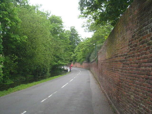
| current | 14:23, 11 March 2017 | | 640 × 480 (95 KB) | Si404 (talk | contribs) | '''Village Road Denham''' The Grade II Listed high boundary wall of Denham Place is on the right, with a security camera visible in the centre of the photo. |
File usage
The following page uses this file: